
Weather monitoring myths commonly include the mistaken beliefs that forecasts are always wrong and that expensive gear is necessary, but in truth forecast accuracy is high and affordable home weather stations deliver reliable local data. Cloud types and wind direction are powerful indicators of approaching weather changes, and barometric pressure trends reveal upcoming system shifts. Understanding these facts allows anyone to cut through confusion and monitor weather with practical, evidence-based methods.
Lots of folks get confused about keeping an eye on the weather. It’s easy to believe things that just aren’t true, especially when you’re new to it. These 10 Weather Monitoring Myths pop up everywhere and can make things seem harder than they need to be.
Don’t worry, though! We’ll break it all down simply, step by step. What you’ll learn next will clear up all the confusion and help you watch the weather with confidence.
Key Takeaways
- Common beliefs about weather forecasting are often mistaken.
- Understanding basic weather patterns helps make predictions more accurate.
- Home weather stations offer valuable, real-time local data.
- Wind direction is a key indicator of approaching weather changes.
- Cloud types provide important clues about upcoming conditions.
- Barometric pressure changes signal shifts in weather systems.
Dispelling 10 Weather Monitoring Myths
Watching the weather can feel like a mystery sometimes, especially with so many ideas floating around that aren’t quite right. Many people start with a few wrong ideas that make it hard to get a clear picture. Let’s clear up some of these common misunderstandings so you can better understand what’s happening outside your window and what might be coming next.
Meteorologists use sophisticated models and multiple data sources to deliver predictions that are far more accurate than many assume.
Clearing up common weather misunderstandings helps you interpret conditions more accurately and anticipate changes.
Myth 1: Weather Forecasts Are Always Wrong
The Truth About Forecast Accuracy
It’s a common joke that weather forecasts get it wrong. While no forecast is perfect 100% of the time, weather prediction has gotten much better. Modern technology and sophisticated computer models help meteorologists make more accurate predictions than ever before.
Even simple tools like a thermometer and rain gauge provide valuable hyper-local weather data without expensive equipment.
They look at many different factors to give us the best guess possible.
Think of it like this: if a doctor gives you a diagnosis, they are giving you their best educated guess based on all the information they have. Weather forecasts work in a similar way. They are based on current conditions and scientific understanding of how the atmosphere works.
Myth 2: You Need Super Expensive Gear to Monitor Weather
Affordable Tools for Home Weather Watchers
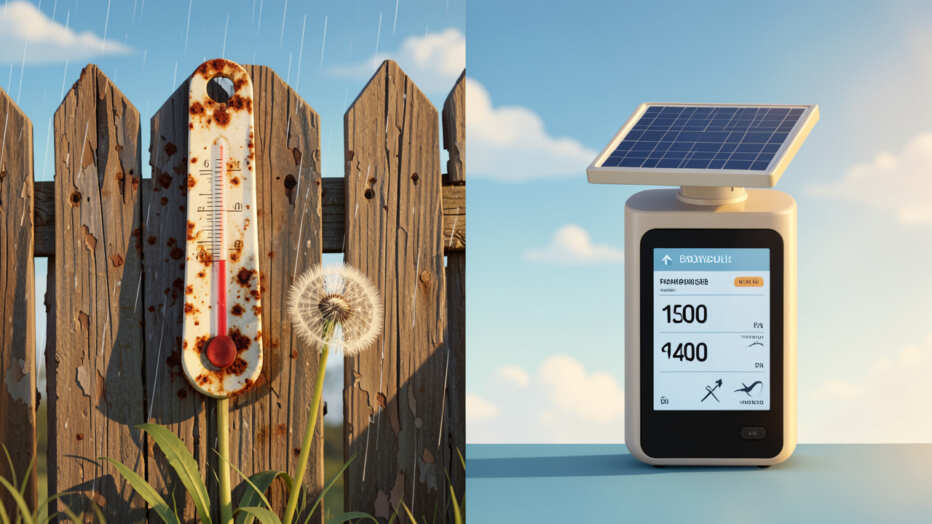
Many people think you need a professional setup to track weather at home. This isn’t true! You can start with simple tools.
Learn to read clouds: puffy white clouds indicate fair weather, while dark, heavy clouds often mean rain or storms are approaching.
A basic thermometer, a rain gauge, and even just looking at the sky can tell you a lot.
Home weather stations are also more affordable now than they used to be. Many models can measure temperature, humidity, wind speed, and rainfall. These devices give you data specific to your exact location, which is often more useful than a general forecast.
Myth 3: Clouds Are Just Pretty Shapes in the Sky
Decoding Cloud Signals
Clouds are actually giant storytellers. Different types of clouds tell us different things about the weather. For example, puffy white clouds often mean fair weather, while dark, heavy clouds can signal rain or storms are on the way.
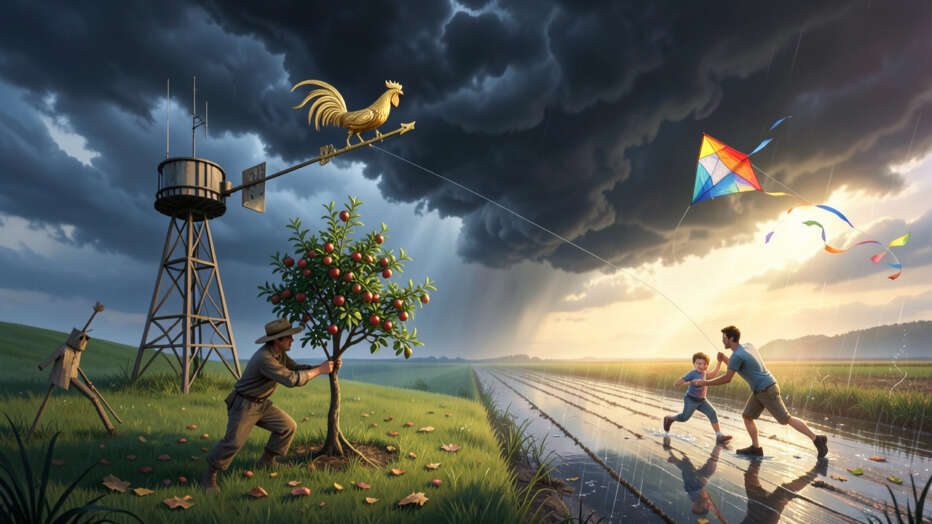
Pay attention to wind direction: a shift can be the first sign of approaching weather changes, such as rain or temperature shifts.
High, wispy clouds called cirrus clouds can sometimes mean a change in weather is coming in the next day or two. Flat, gray clouds like stratus clouds can bring drizzle or light rain.
Myth 4: Wind Direction Doesn’t Matter Much
Wind: Your Weather Compass
The direction the wind is blowing is a very important clue. In many places, wind patterns are consistent. Knowing the typical wind direction for different types of weather can help you predict what’s coming.
Weather systems can move in quickly, so a clear sky today does not guarantee the same tomorrow; meteorologists track distant systems to predict changes.
For example, if you live in a place where west winds usually bring rain, and the wind starts blowing from the west, you might want to prepare for wet weather. Wind also brings air masses, so a shift in wind can mean a shift in temperature or moisture content.
Myth 5: A Clear Sky Today Means a Clear Sky Tomorrow
The Illusion of Persistent Calm
A beautiful sunny day today doesn’t guarantee the same tomorrow. Weather systems can move in quickly. What looks calm now can change fast, especially if a storm is forming hundreds of miles away.
Rising barometric pressure typically signals improving weather, while falling pressure often means a storm is approaching.
Meteorologists look at large-scale patterns. They track weather fronts and systems that might be days away. Just because your local sky is clear doesn’t mean a storm isn’t brewing somewhere else and heading your way.
Myth 6: Barometric Pressure Only Matters to Scientists
Pressure Changes and What They Mean
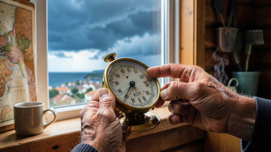
Barometric pressure is the weight of the air pressing down on us. When this pressure drops, it often means a storm is coming. When it rises, the weather is usually getting better.
If you see towering cumulonimbus clouds darkening, take shelter immediately—lightning can occur even without audible thunder.
Many weather stations include a barometer. Watching the pressure trend can give you a heads-up before you even see clouds or feel the wind change. A steady drop might mean rain, while a rapid drop could signal a stronger storm.
Myth 7: Lightning is Too Fast to Predict
Understanding Thunderstorm Behavior
While individual lightning strikes are sudden, the conditions that create thunderstorms are not. Meteorologists can track the development of thunderstorms. They look at atmospheric instability, moisture, and lifting mechanisms.
Seeing towering cumulonimbus clouds is a strong sign that lightning is possible. Even if you don’t hear thunder yet, you should take shelter if you see these types of clouds forming and dark enough.
Myth 8: Temperature is the Only Thing That Matters
Humidity and Dew Point: Key Players
Temperature is important, but it’s not the whole story. Humidity, which is the amount of water vapor in the air, also plays a big role. The dew point is the temperature at which the air becomes saturated with water and dew begins to form.
High humidity can make hot days feel hotter and cold days feel colder. Knowing the dew point helps understand how muggy or dry the air will feel. It also helps in predicting fog or dew formation.
Myth 9: Local Weather Never Differs from National Forecasts
The Power of Microclimates
National forecasts are great for general trends, but your local area can have its own weather. This is due to microclimates. Factors like mountains, large bodies of water, or even dense city buildings can change the weather in a small area.
For example, one side of a mountain might get much more rain than the other side. Your backyard might be a few degrees warmer than a nearby park due to less shade and more heat-absorbing surfaces.
Myth 10: Weather Monitoring is Too Complicated for Beginners
Making Weather Watching Simple
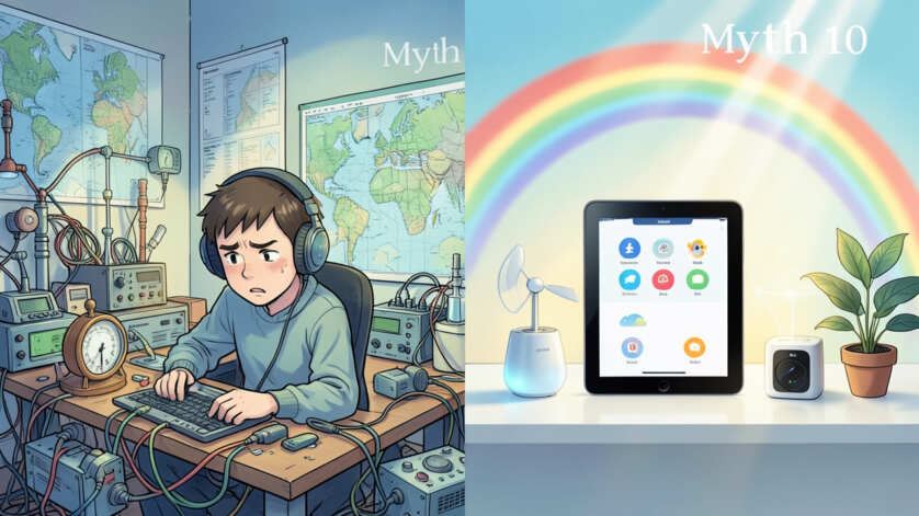
It might seem like a lot at first, but learning about weather doesn’t have to be hard. By understanding these myths and focusing on a few key things like clouds, wind, and pressure, you can start to get a good sense of the weather. You don’t need to be a scientist to make good observations.
Start small. Pay attention to the sky each day. Notice how the wind feels and where it’s coming from.
Record your observations and compare them to the official forecasts. You’ll quickly start to see patterns and develop your own weather sense.
Frequently Asked Questions
Question: How can I tell if rain is coming just by looking?
Answer: Look for dark, heavy clouds, especially those that are growing tall. A steady drop in barometric pressure also often signals incoming rain. The wind might also shift to bring moister air.
Question: Is it worth buying a home weather station?
Answer: Yes, if you’re interested in tracking your local weather closely. They provide very accurate, real-time data for your specific location, which can be more useful than general forecasts.
Question: What is the most reliable indicator of changing weather?
Answer: Changes in barometric pressure are a very reliable indicator. A falling pressure usually means worsening weather, while rising pressure means improvement.
Question: Can I predict frost without a thermometer?
Answer: It’s difficult to be precise without a thermometer. However, a very clear, calm night with falling temperatures after sunset, especially if there’s dew forming, increases the chance of frost.
Question: How do I know if a storm is getting stronger or weaker?
Answer: Watch the wind. If it’s increasing in speed or shifting to a more direct angle from the storm’s direction, it might be getting stronger. A steady or dropping barometric pressure also indicates the storm may continue to intensify.
Final Thoughts
Watching the weather is a skill anyone can learn. You don’t need fancy tools or a degree in meteorology. By ignoring common misunderstandings, you can start seeing the weather for what it is.
Pay attention to the clouds, feel the wind, and notice how the pressure changes. These simple steps help you get a clearer picture of what’s happening outside. You can become your own weather expert right where you live.